PHOTO:Thomas Joshua Cooper
 Thomas Joshua Cooper is one of the most celebrated and distinctive landscape photographers working anywhere in the world today. He was born in California in 1946 but has lived in Scotland for many years. Cooper is the founding head of photography at Glasgow School of Art but spends much of his life seeking out the edges of the world. Like artists such as Richard Long, and Hamish Fulton, Cooper is a traveller, a nomadic artist whose extraordinary photographs are made in series at significant points around the globe, most often at its extremities.
By Dimitris Lempesis
Photo: Hauser & Wirth & LACMA Archives
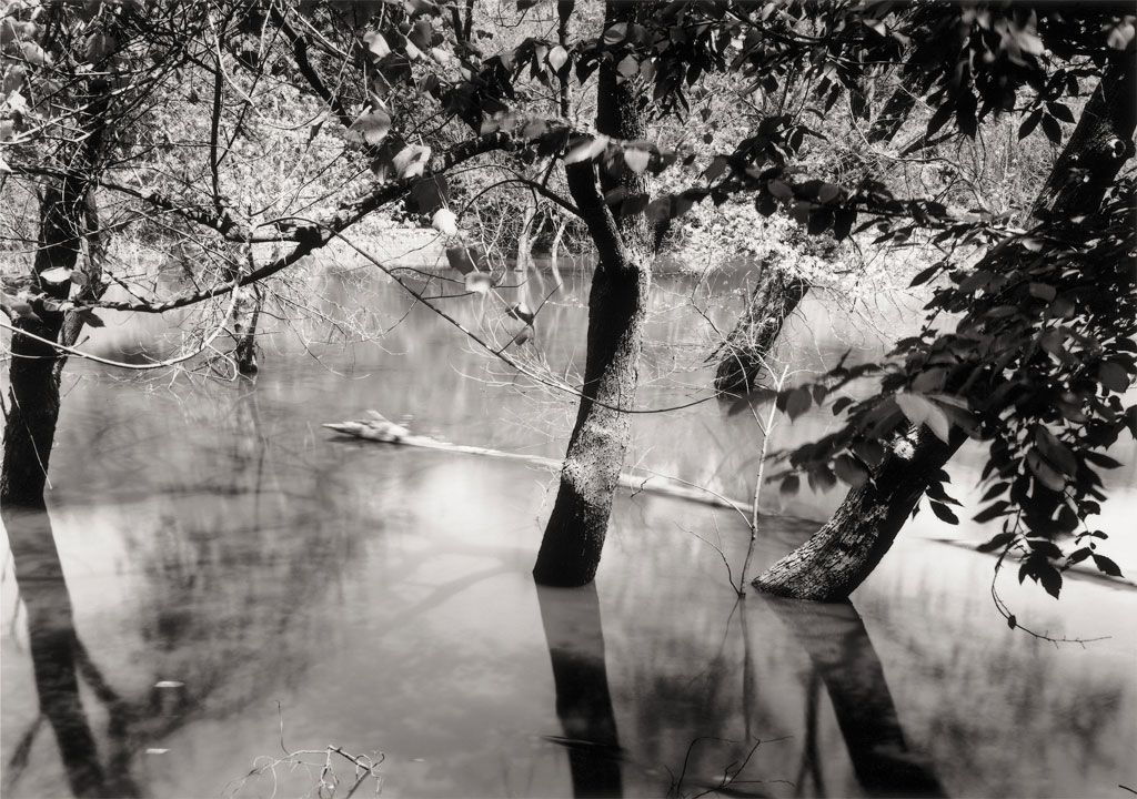
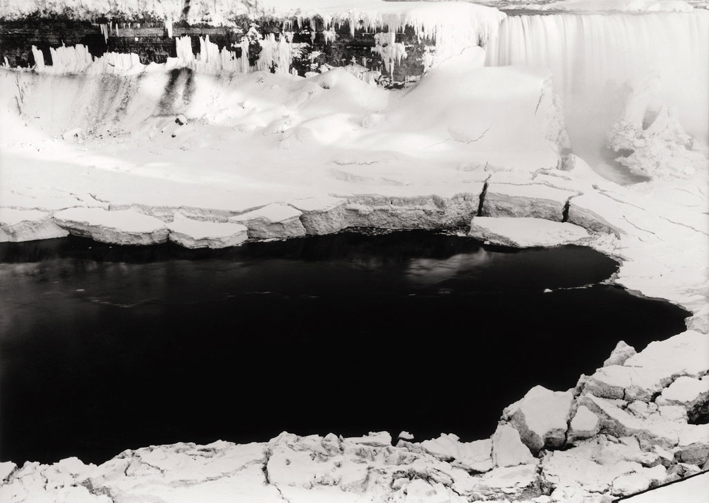
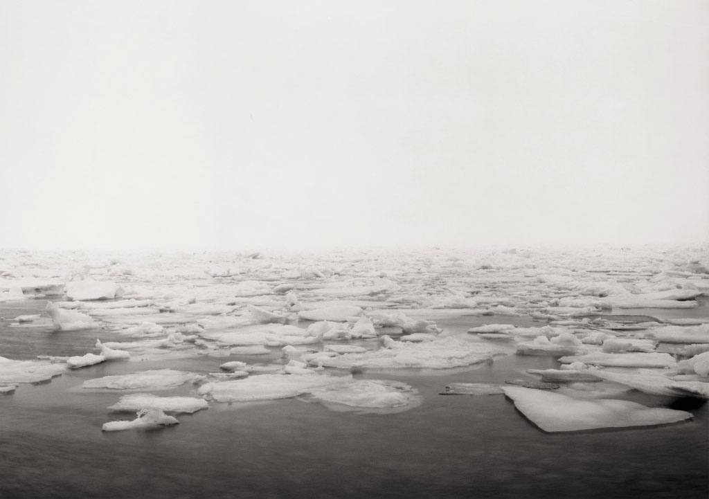
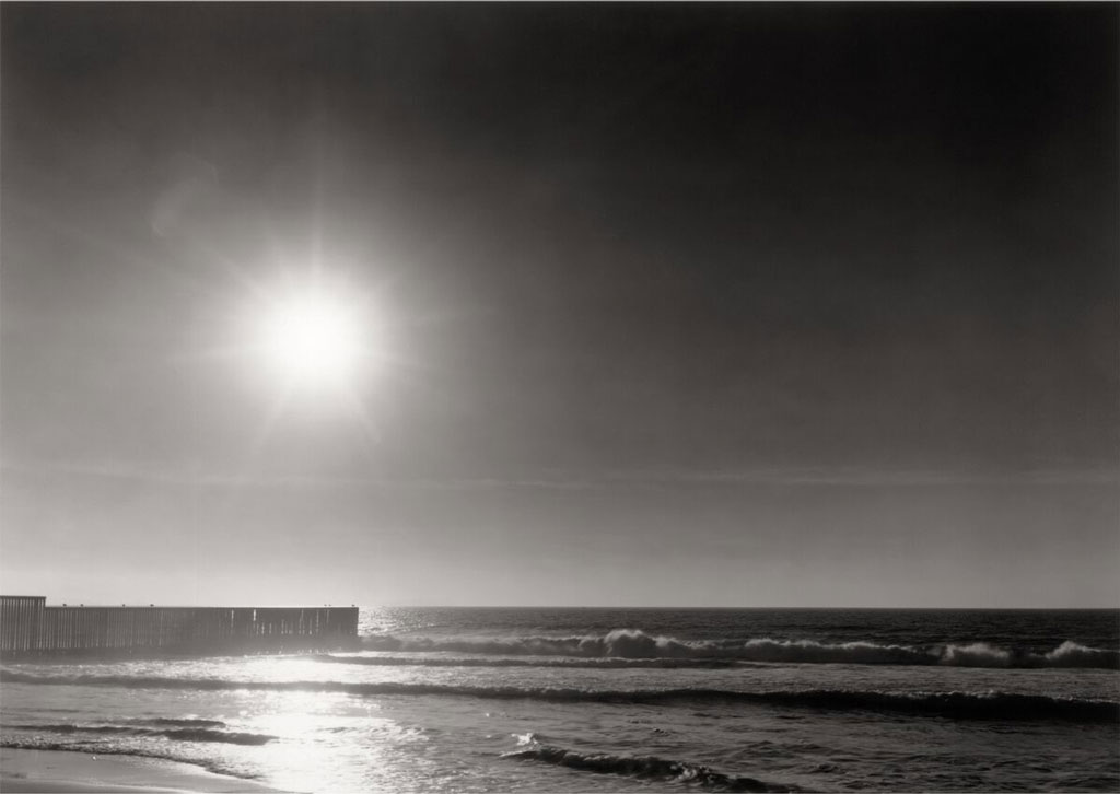
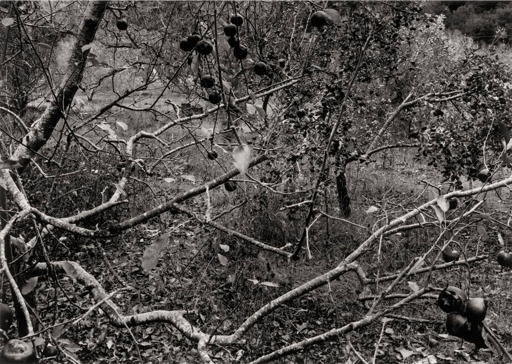
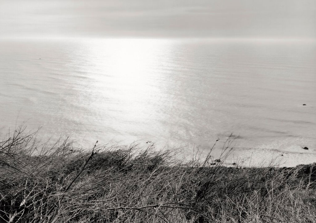
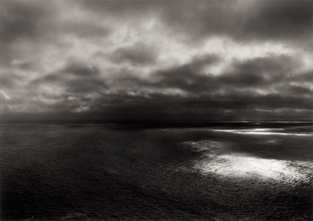
Two solo exhibitions of Thomas Joshua Cooper are on show in Los Angeles, “The Capes of California” and “Thomas Joshua Cooper: The World’s Edge”. In order to make his outdoor photographs, Thomas Joshua Cooper travels to remote, often isolated sites. He makes one negative per location using a 19th Century Agfa Ansco view camera, then prints each photograph by hand in a traditional darkroom in his studio in Glasgow. Typically, each photograph includes neither a horizon line nor the terrain below the artist’s feet, focusing instead on what Cooper calls the surrounding “sea space”. He composes each scene by determining its edges, one at a time. The resulting black-and-white photographs capture the psychological impact of these places through geographic and atmospheric details. They are not documents, but open, expansive artworks that are free to receive the viewer’s imagination. The exhibition “The Capes of California” at Hauser & Wirth Los Angeles comprises 19 monumentally scaled photographs that together trace the coast of California, the artist’s home state. The body of work represents the culmination of Cooper’s epic “Atlas” project, an expedition that has captivated him for the last thirty years making pictures within the furthest reaches of the globe. Thomas Joshua Cooper has remarked about the exhibition: “California is nearly 910 miles long and home to fourteen sea-coastal counties, each with sea points or a cape. Between Thanksgiving and the winter solstice 2018, Catherine Mooney and I drove nearly 3,000 miles to find these sites. I made pictures in each of these counties for “The Capes of California,” a three-part, nineteen-picture work”. The exhibition is a project commissioned by the Los Angeles County Museum of Art (LACMA) and supported by Lannan Foundation and Ann Tenenbaum & Thomas H. Lee, as a complement to the exhibition on view at LACMA entitled “Thomas Joshua Cooper: The World’s Edge”. In the works that are on presentation on LACMA, Cooper charts the Atlantic basin from its most extreme northern, southern, eastern, and western land points. He began this project of circumnavigation in 1987 and has since made more than 700 contributing photographs, traveling throughout the United Kingdom and to northern Europe, the west coast of Africa, the east coasts of South and Central America, the United States, Canada, and both the North and South Poles. The exhibition is organized regionally, with 65 large-scale works reflecting the way Cooper made the photographs via extended trips to each area. It begins with a group of works that belong to the theme Ancient Beginnings , which introduces Cooper’s early inspiration to make The World’s Edge: the legacies of 2nd-century GrecoRoman geographer Claudius Ptolemy and 6th-century Irish monastic Saint Brendan the Navigator. Their contributions to mathematics, geography, and navigation pushed Europeans to consider the world beyond themselves, to the west, north, and south. Thematic cases throughout the exhibition feature a total of 75 eight-by-ten-inch photographs the artist uses as guides for making his larger works, with sections including: Observations on an American History of Place, made in 2009 along the southeastern edge of the U.S. between Virginia and Florida. These photographs trace nearly 300 years of history and follow Europeans’ occupation of the region, including the site of the first colony established by Spanish settlers in 1565 in St. Augustine, Florida; the site of the Battle of Yorktown, which won the American Revolution; and the site of the first battle of the American Civil War, in Charleston, South Carolina. The Vikings are the earliest explorers with whom Cooper feels a regional kinship. In the 8th century, they ventured beyond their homes in Denmark, Norway, and Sweden to parts of Europe and Russia. They colonized Ireland and Scotland as well as the surrounding Atlantic Islands and, over the next two centuries, set off on sea voyages across the Atlantic Ocean to Iceland, Greenland, and Vinland (known today as Newfoundland, Canada). In this section, Cooper captures the vistas and geographical features the Vikings likely saw on their travels. Cooper has photographed the sea from remote land points and the edges of continents, but the works in North America/Borders were made along the continent’s interior borders. Nearly half of the border between the U.S. and Canada is composed of aqueous barriers such as waterfalls, lakes, and rivers. To the south, one great river, the Rio Grande (known in Mexico as the Río Bravo), creates a natural barrier that constitutes about one-third of the total southern border between Mexico and the United States. In his body of pictures the Columbian Epic, Cooper traces Christopher Columbus’s journey to the Americas. Seeking a water trade route from Europe to Asia, the Italian explorer and his crew set sail from Palos de la Frontera, Spain, in 1492. Rather than traveling along the western edge of Africa and around the Cape of Good Hope, as the Portuguese had done, Columbus sailed west across the Atlantic. He and his crew first arrived in the Americas at the Isle of San Salvador in the Bahamas two months after their launch. This voyage began centuries of human migration across the Atlantic Basin and the European colonization of the Americas. In 1522, Portuguese explorer Ferdinand Magellan and his crew became the first people to circumnavigate the globe, also in search of a western trade between Asia from Europe. Cooper has said that these Renaissance figures’ journeys led him to adopt exploration and circumnavigation as an art practice. Cuba is the largest landmass in the Greater Antilles and the Caribbean Sea. Cooper traveled to the island nation in 2007, making pictures at its farthest points north, west, east, and south; in the Bay of Pigs; and in Guantánamo Province. The section on Mexico includes pictures Cooper made on the north side of the Rio Grande in Texas, and on its south side in Chihuahua, Mexico. His photographs of the river and surrounding desert feature severe rock, harsh brush, and tumultuous rapids, revealing the inherent threats contained in this historically and politically contested region. Cooper made photographs of Northern and Southern Islands in both regions’ hemispheres. Those made in the north, where early Viking exploration occurred, are rocky, icy, and severe. Those made in the south include waterfalls, eddies, and pebbled beaches, and primarily depict locations off the coast of South America.
Info: Hauser & Wirth, 901 East 3rd Street, Los Angeles, Duration: 24/10/19-19/1/20, Days & Hours: Tue-Sun 11;00-18:00, www.hauserwirth.com & LACMA (Los Angeles County Museum of Art) , 905 Wilshire Blvd, Los Angeles, Duration: 22/9/19-2/2/20, Days & Hours: Mon-Tue & Thu 11:00-17:00, Fri 11;00-20:00, Sat-Sun 10:00-19:00, www.lacma.org


