ART-PRESENTATION: Island Time
 The Mediterranean Sea has more than 10,000 islands. Its history is marked by these places that alternate between centers of activity and being on the margins, nerve centers and places that repel, paradises and prisons. But on other seas lie archipelagos linked to crucial issues: as much as Cyprus and Lampedusa, the Spratly islands, the Comoros, New Caledonia and the Caymans all contribute to how today’s world is shaped.
By Efi Michalarou
Photo: MUCEM Archive
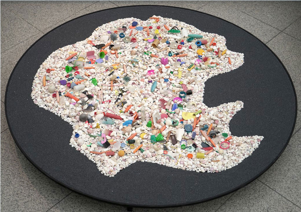
More than something that is marginal or exceptional, the exhibition “Island time” considers the island as an experience and a tool for understanding the world. The exhibition explores the effects of islands on the imaginary, knowledge, geopolitical reality, and the utopias of yesterday and tomorrow. Whether we are island inhabitants or not, we are all islanders.
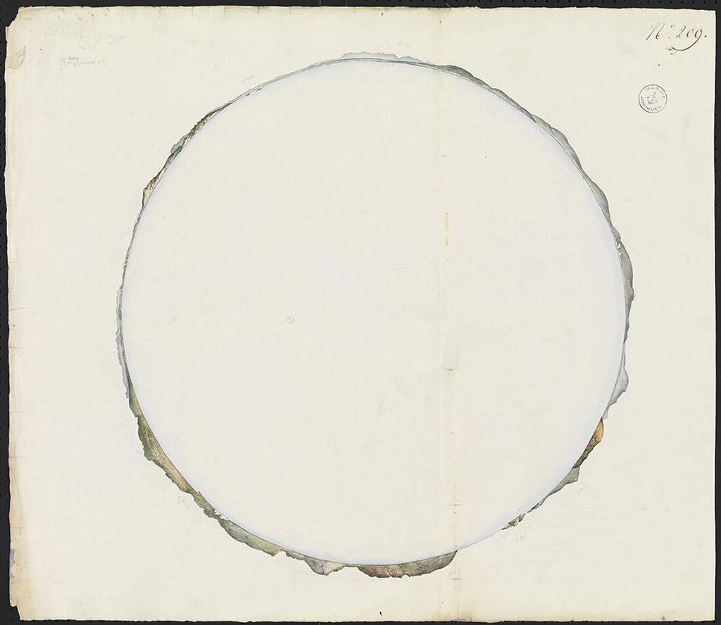
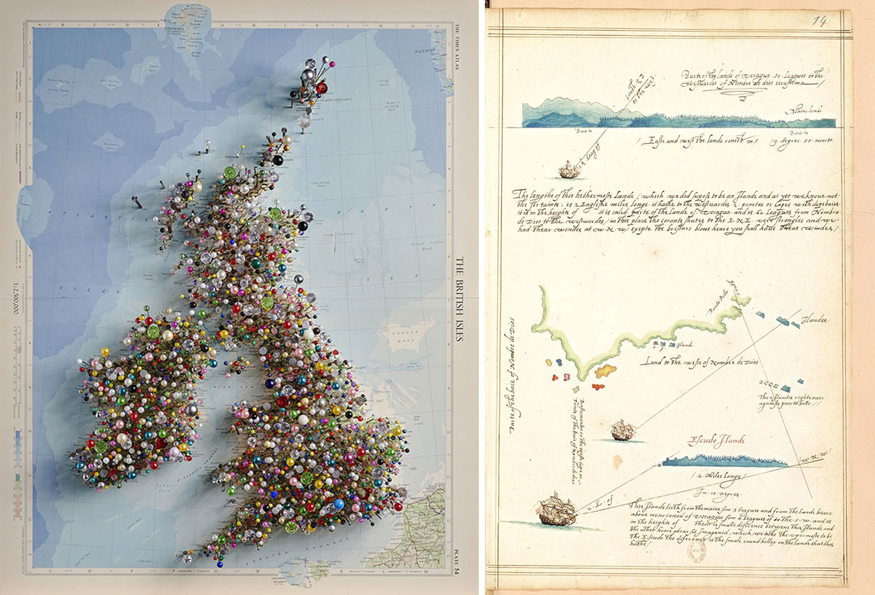
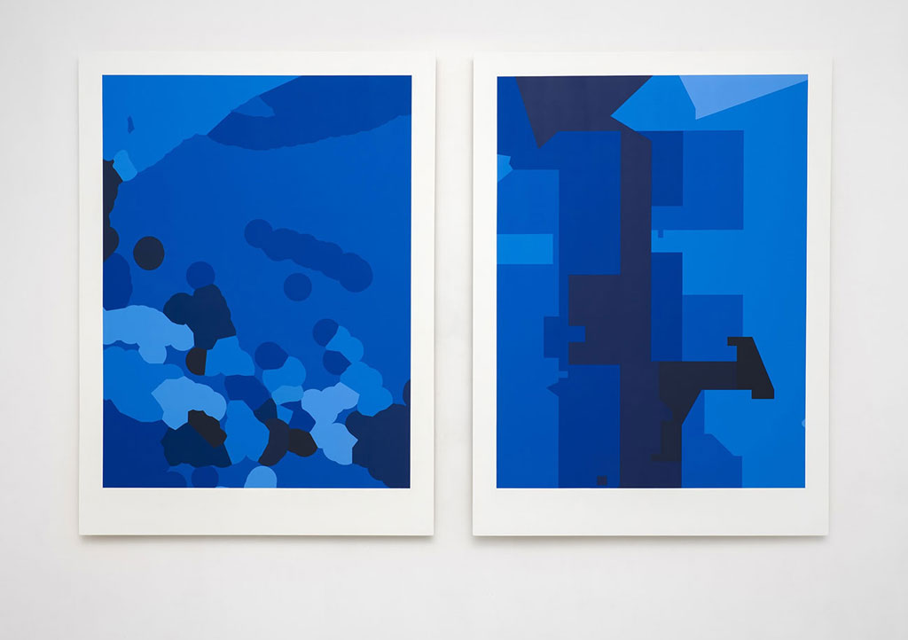
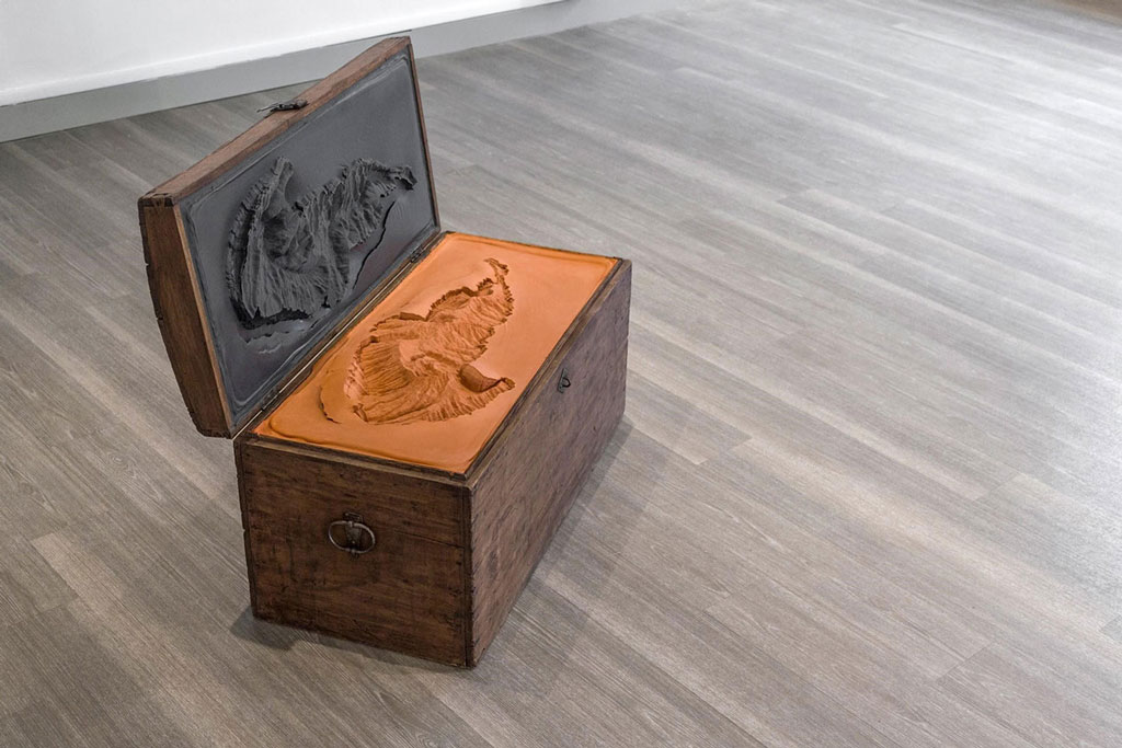
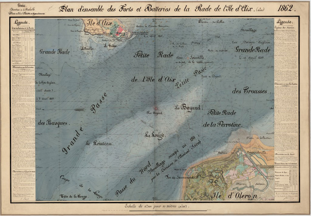
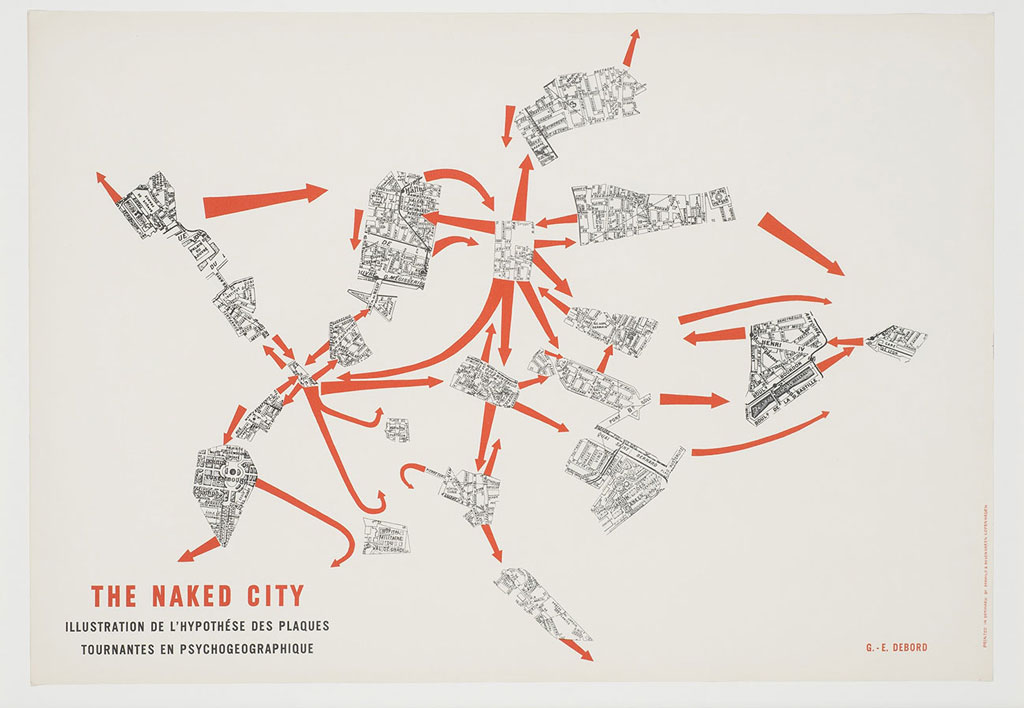
Maps, explorers’ surveys, stuffed animals, and also Roman mosaics, paintings, sculptures, photographs, videos, installations that are presented at the Mucem showcases some 200 pieces from French, European and Mediterranean institutions, as well as contemporary works of art created specially for this project. As an extension to the exhibition and in order to heighten the island experience, the Mucem and the Centre des monuments nationaux invite the public to take to the sea for the Island of If, just off Marseille’s Vieux-Port, to discover a series of works by the artist David Renaud. The exhibition is divided in numerus themes, Islands of ambiguity : How many of them are there, and should we seek to define them? Mariners fear reefs more than large islands, and those that are barely covered by the tide more so than those that proudly stand tall. Islands are stretches of land surrounded by water: what seemed obvious reveal themselves as complex, forcing us to let go of our certainties. They are both uncertain (in their location, size and name) and ambivalent – places of pleasures and fears, of escape and confinement. Islands of knowledge: In many areas, islands have been accelerators of knowledge, and their study has helped to structure know-hows and methods. It was necessary to get to know them, to locate them, name them, define their size, draw their shape, and describe their natural features and their populations. This is the role of cartography. They have always been special spaces for the development of knowledge – in the natural sciences as well as in human and social sciences. The inventory of soils and the minerals that they contain, of plants and animals, but also the observation of practices, political organizations and social beliefs on island worlds have been opportunities for the emergence of new scientific theories that could probably not have appeared in another context, e.g.: Darwin’s theory of evolution, or the analysis of the social rules of exchange by anthropologists. Islands of power: Often grouped into archipelagos and linked to each other or to a metropolis – a sometimes very distant center, islands play a decisive role in the organisation of the contemporary world, and are considered here according to six themes: the environment, political and military conflicts, economic exploitation, connections, migration, and resilience. Islands help us decipher the often complex situation of the contemporary world; this section, which is partly educational, aims to give visitors keys to understanding. This is the driver for the choice of a cartography developed with the cartographic service of the newspaper “Le Monde”. This collaboration has allowed for a selection of islands that illustrate contemporary island characteristics. The selected islands thus become “case studies” that tell something about global issues and explain a specific situation. Each selection is presented in pairs: regional situation and a more detailed reading of the island itself. Islands of the imagination: Islands are not only physical spaces, geographically located and delimited, that can be described scientifically. They are also mental entities, imaginary places, intellectual models, and drivers of literary and artistic creation. The notion of an island can be dissociated from the physical reality with which it is most often associated. Thus, it is on a fictitious island that Thomas More placed the kingdom of Utopia, and many projects of island utopias would come thereafter. An original 1516 edition of Thomas More’s Utopia is presented in this section (on loan from Marseille Libraries). But the island also allows for a reading and even a building of urban spaces, as if they were similarly made up of vast archipelagos. The island is a way of seeing and interpreting the world.
Info: Curator: Jean-Marc Besse andG uillaume Monsaingeon, Museum of European and Mediterranean Civilisations (MUCEM), 7 promenade Robert Laffont (esplanade du J4), Marseille, Duration: 17/7-11/11/19, Days: Mon & Wed-Sun (Daily in AugustHours:11:00-19:00 (6/7-2/9) or 10:00-20:00 (3/9-4/11), www.mucem.org
